
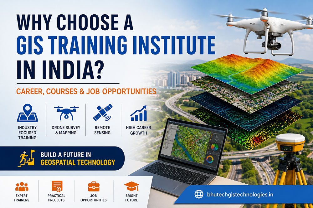
The geospatial industry is expanding rapidly across India. From Smart Cities and Digital India initiatives to infrastructure development, transportation, environmental monitoring, agriculture, and utility management, Geographic Information Systems (GIS) have become one of the most valuable technologies in the modern world.
As organizations continue adopting location-based intelligence, the demand for skilled GIS professionals is increasing every year. Choosing the right GIS Training Institute in India can help you build practical skills, gain industry-recognized knowledge, and prepare for rewarding career opportunities.
📌 What You’ll Learn in This Guide
- ✅ Why GIS is one of India’s fastest-growing technologies
- ✅ Benefits of joining a GIS Training Institute in India
- ✅ GIS, Drone Survey & Remote Sensing Courses
- ✅ Industries hiring GIS professionals
- ✅ Essential software and practical skills
- ✅ Career opportunities and future scope
📚 Table of Contents
- What is GIS?
- Why GIS is Important in India
- Benefits of GIS Training
- What Makes a Good GIS Training Institute?
- Skills You Will Learn
- Industries Using GIS
- Software Covered
- Course Overview
- Career Opportunities (Part 2)
- Salary Guide (Part 2)
- FAQs (Part 2)
🌍 What is GIS?
Geographic Information System (GIS) is a powerful technology that helps collect, manage, analyze, and visualize geographical information. It combines maps, satellite imagery, GPS, drone data, and spatial databases to support better decision-making.
Today, GIS is widely used in infrastructure development, engineering, surveying, agriculture, environmental conservation, transportation, telecom, disaster management, and smart city planning.
Digital Mapping
Create accurate digital maps using spatial data collected from GPS, drones, and satellites.
Spatial Analysis
Analyze geographic data to improve planning and support business or government decisions.
Remote Sensing
Use satellite imagery and aerial photographs to monitor environmental and infrastructure changes.
🇮🇳 Why GIS is Becoming One of the Most In-Demand Skills in India
India is investing billions of rupees in infrastructure projects, highways, railways, metro systems, renewable energy, urban planning, and digital transformation. These projects require accurate geographic data, making GIS professionals increasingly valuable.
Government initiatives such as Smart Cities Mission, Digital India, PM Gati Shakti, and modern land record management have significantly increased the adoption of GIS technology across the country.
📈 Industry Insight
According to industry trends, GIS, Drone Survey, and Remote Sensing professionals are among the fastest-growing roles in infrastructure, engineering, environmental management, and geospatial technology sectors.
🎓 Why Choose a GIS Training Institute in India?
A professional GIS Training Institute in India provides much more than software training. It equips learners with practical skills, industry knowledge, and real-world project experience required by employers.
💼 Practical Training
Hands-on experience with live GIS projects and spatial data analysis.
🚁 Drone Survey Basics
Understand aerial mapping, drone workflows, and GIS integration.
🛰️ Remote Sensing
Learn satellite image processing and interpretation techniques.
📍 Industry Software
Gain expertise in widely used GIS software platforms.
📑 Certification
Build a professional portfolio with project-based learning.
🚀 Career Guidance
Prepare for interviews and explore opportunities across multiple industries.
💻 Skills You Will Learn
- 🗺 GIS Mapping
- 📍 GPS & GNSS Surveying
- 🌎 Cartography
- 📊 Spatial Analysis
- 🚁 Drone Mapping Concepts
- 🛰 Satellite Image Processing
- 🌐 Web GIS Basics
- 📈 Geospatial Data Management
- ☁ Cloud GIS Fundamentals
- 🤖 AI Applications in GIS
🏢 Industries Hiring GIS Professionals
One of the biggest advantages of learning GIS is its versatility. Professionals trained in GIS are employed by government departments, multinational companies, engineering firms, research organizations, and startups.
🏗 Construction & Infrastructure
Highways, bridges, railways, airports, industrial corridors, and metro projects.
🌾 Agriculture
Precision farming, crop monitoring, irrigation planning, and land analysis.
⚡ Utilities
Electricity, gas pipelines, telecom networks, and water supply management.
🏙 Smart Cities
Urban planning, asset management, traffic analysis, and municipal development.
🌳 Environment
Forest monitoring, biodiversity conservation, and climate studies.
⛏ Mining
Mine planning, exploration, resource mapping, and safety management.
🖥 Popular GIS Software Covered
A leading GIS Training Institute should provide practical exposure to professional software used by industry experts worldwide.
- ArcGIS Pro
- QGIS
- ERDAS Imagine
- ENVI
- Global Mapper
- AutoCAD Map 3D
- Pix4D
- Agisoft Metashape
- Google Earth Pro
- DroneDeploy
💼 Career Opportunities After Completing a GIS Course in India
After completing a professional course from a GIS Training Institute in India, learners can explore career opportunities in government organizations, multinational companies, engineering consultancies, GIS service providers, environmental agencies, utility companies, and research institutes.
With India’s rapid investment in infrastructure, digital mapping, smart cities, transportation, renewable energy, and geospatial technology, GIS professionals are in demand across multiple industries.
GIS Analyst
Analyze spatial data, create digital maps, and support decision-making using GIS software.
Drone Survey Engineer
Conduct aerial surveys, mapping projects, and infrastructure inspections using drones.
Remote Sensing Analyst
Interpret satellite imagery and monitor environmental and land-use changes.
GIS Engineer
Support construction, highways, railways, metro, and infrastructure development projects.
Survey Engineer
Collect field data using GPS, GNSS, Total Station, and Drone Survey technologies.
Geospatial Consultant
Provide GIS consulting and mapping solutions for government and private organizations.
🏢 Top Industries Hiring GIS Professionals
🏙️ Smart Cities
Urban planning, traffic analysis, and asset management.
🛣️ Infrastructure
Roads, bridges, highways, metro, airports, and railway projects.
⚡ Utilities
Electricity, gas, telecom, and water supply network mapping.
🌾 Agriculture
Precision farming, irrigation planning, and crop monitoring.
🌳 Environment
Forest monitoring, disaster management, pollution control, and conservation.
⛏️ Mining & Oil
Mineral exploration, geological mapping, and resource management.
🚁 Drone Survey & Mapping Course
Drone Survey has become one of the fastest-growing technologies in India’s infrastructure and engineering sectors. Modern drone mapping allows professionals to collect highly accurate data much faster than traditional surveying methods.
Benefits of Drone Survey Training
- ✔ High Accuracy Mapping
- ✔ Faster Project Completion
- ✔ Reduced Survey Costs
- ✔ Safer Data Collection
- ✔ Orthomosaic Mapping
- ✔ Digital Elevation Models (DEM)
- ✔ 3D Terrain Modeling
- ✔ Infrastructure Inspection
🛰️ Remote Sensing Training
Remote Sensing enables professionals to analyze Earth’s surface using satellite imagery, aerial photography, and drones. Combined with GIS, it helps organizations monitor environmental changes, infrastructure development, agriculture, forests, water resources, and disaster-prone areas.
💻 Skills Employers Expect in 2026
- ✔ ArcGIS Pro
- ✔ QGIS
- ✔ GPS & GNSS Surveying
- ✔ Drone Mapping
- ✔ Photogrammetry
- ✔ Remote Sensing
- ✔ Spatial Analysis
- ✔ Cartography
- ✔ Web GIS
- ✔ AI & Machine Learning Basics
- ✔ GIS Database Management
- ✔ Problem Solving Skills
💰 Average GIS Salary in India (2026)
| Experience | Average Salary |
|---|---|
| Freshers | ₹2.5 – ₹5 LPA |
| 1–3 Years | ₹4 – ₹7 LPA |
| 3–5 Years | ₹6 – ₹10 LPA |
| Senior Professionals | ₹10 LPA+ |
Note: Salary depends on skills, certifications, software expertise, project experience, and employer.
🚀 Future Scope of GIS in India
India’s geospatial industry is expected to grow significantly due to digital transformation and increasing adoption of GIS across public and private sectors.
🤖 Artificial Intelligence
AI-powered GIS analysis and predictive mapping.
☁️ Cloud GIS
Cloud-based mapping and collaboration platforms.
🌐 Web GIS
Interactive online maps and dashboards.
🏙️ Digital Twins
Virtual city models for infrastructure planning.
📡 IoT Integration
Real-time monitoring using sensors and GIS.
🚁 Autonomous Drones
AI-powered aerial mapping and inspections.
🎯 How to Choose the Best GIS Training Institute in India
- ✅ Experienced Trainers
- ✅ Practical Project-Based Learning
- ✅ Latest GIS Software Training
- ✅ Drone Survey Exposure
- ✅ Remote Sensing Modules
- ✅ Industry-Oriented Curriculum
- ✅ Internship Opportunities
- ✅ Career Guidance & Placement Support
- ✅ Flexible Online & Offline Learning
- ✅ Certification After Course Completion
❓ Frequently Asked Questions
Is GIS a good career in India?
Yes. GIS professionals are in high demand across infrastructure, engineering, utilities, government projects, agriculture, mining, and environmental sectors.
Who can join a GIS course?
Students, civil engineers, surveyors, architects, planners, environmental professionals, and graduates from science or engineering backgrounds can learn GIS.
What is the duration of a GIS course?
Depending on the institute, GIS training can range from a few weeks to several months, with advanced programs covering Drone Survey and Remote Sensing.
Do I need coding knowledge?
No. Beginners can start learning GIS without programming. Advanced learners may later explore Python for GIS automation.
Is Drone Survey included in GIS courses?
Many professional GIS training institutes now include Drone Survey, Photogrammetry, and Remote Sensing modules to meet industry requirements.
🏆 Why Choose Bhutech GIS Technologies?
- ✔ Industry-Oriented GIS Training
- ✔ Practical GIS Software Learning
- ✔ Drone Survey & Mapping Concepts
- ✔ Remote Sensing Training
- ✔ Live Project Experience
- ✔ Experienced Trainers
- ✔ Career Guidance
- ✔ GIS Services & Geospatial Solutions
📢 Final Thoughts
A professional GIS Training Institute in India can provide the technical knowledge and practical experience needed to succeed in today’s geospatial industry. As technologies like GIS, Drone Survey, Remote Sensing, Artificial Intelligence, and Smart Cities continue to evolve, skilled professionals will play an increasingly important role in shaping India’s future.
Whether you’re starting your career or upgrading your skills, investing in quality GIS training can open doors to exciting opportunities across engineering, infrastructure, environmental management, agriculture, utilities, and many other industries.
“`