
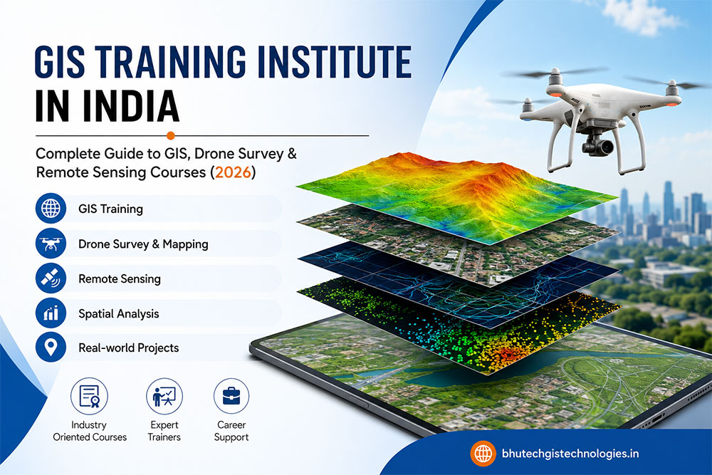
The demand for GIS professionals is growing rapidly across India as industries increasingly adopt geospatial technologies to improve planning, infrastructure development, environmental management, agriculture, transportation, utilities, mining, and smart city projects.
If you’re looking for the best GIS Training Institute in India, this comprehensive guide will help you understand everything about GIS, Drone Survey, Remote Sensing, career opportunities, required skills, certifications, and why now is the perfect time to build a career in the geospatial industry.
📈 Why Read This Guide?
In this article you’ll learn:
- ✅ What is GIS?
- ✅ Why GIS is booming in India
- ✅ Benefits of joining a GIS Training Institute
- ✅ Drone Survey & Mapping Technology
- ✅ Remote Sensing Applications
- ✅ Career Scope after GIS Training
- ✅ Skills companies are hiring for in 2026
- ✅ Industries using GIS Technology
📚 Table of Contents
- What is GIS?
- Importance of GIS in India
- Why Choose a GIS Training Institute in India?
- Industries Using GIS
- Core Skills You Will Learn
- GIS Software
- Drone Survey Training
- Remote Sensing Course
- Career Opportunities
- Salary & Future Scope
- Frequently Asked Questions
🌍 What is GIS?
GIS (Geographic Information System) is an advanced technology used to collect, manage, analyze, visualize, and interpret location-based data. It combines maps, satellite imagery, GPS, drone data, and spatial databases to help organizations make accurate and informed decisions.
Today, GIS technology is being used by government departments, engineering companies, construction firms, environmental organizations, utility providers, telecom companies, agriculture businesses, and smart city projects throughout India.
💡 Did You Know?
Modern GIS integrates Artificial Intelligence (AI), Machine Learning, IoT, Cloud Computing, Drone Mapping, LiDAR, and Satellite Remote Sensing to deliver highly accurate geospatial solutions.
🇮🇳 Why GIS is Becoming One of the Most In-Demand Technologies in India
India is investing heavily in digital infrastructure, transportation, smart cities, renewable energy, water management, land records modernization, and environmental conservation. These initiatives require accurate location-based data, making GIS professionals highly valuable.
Smart Cities
Urban planning, traffic management, utilities, digital infrastructure and public services rely heavily on GIS.
Drone Survey
Drone mapping is replacing traditional surveys with faster, safer and more accurate data collection.
Remote Sensing
Satellite imagery helps monitor forests, agriculture, disasters, water resources and environmental changes.
Infrastructure
Roads, railways, highways, metro projects, airports and industrial development all use GIS technology.
🎓 Why Choose a GIS Training Institute in India?
Choosing a professional GIS Training Institute in India gives you practical knowledge, software expertise, and industry-ready skills required by employers.
A quality GIS institute not only teaches software but also focuses on solving real-world geospatial challenges through live projects, practical assignments, and field experience.
Benefits of Professional GIS Training
- ✔ Practical GIS Projects
- ✔ Industry-Oriented Curriculum
- ✔ Hands-on Software Training
- ✔ Drone Survey Fundamentals
- ✔ Remote Sensing Basics
- ✔ Spatial Data Analysis
- ✔ Map Creation & Cartography
- ✔ GPS & GNSS Applications
- ✔ Career Guidance
- ✔ Portfolio Development
🏢 Industries Hiring GIS Professionals
One of the biggest advantages of learning GIS is that almost every infrastructure-related industry requires geospatial professionals.
🏗 Construction
Planning, surveying, infrastructure mapping and project monitoring.
🚆 Transportation
Road, railway, metro and logistics planning using GIS.
⚡ Utilities
Electricity, water supply, gas pipelines and telecom network mapping.
🌾 Agriculture
Precision farming, crop monitoring and irrigation planning.
🌳 Environment
Forest management, biodiversity conservation and pollution monitoring.
🏙 Urban Planning
Land use analysis, zoning, smart city planning and municipal projects.
💻 Essential GIS Software You Will Learn
A leading GIS Training Institute in India should provide hands-on experience with industry-standard software used by professionals worldwide.
- 🗺 ArcGIS Pro
- 🌍 QGIS
- 🛰 ERDAS Imagine
- 📡 ENVI
- 🚁 Pix4D
- 📷 Agisoft Metashape
- 📍 Google Earth Pro
- 🧭 AutoCAD Map 3D
- ☁ DroneDeploy
- 📊 Global Mapper
🚁 Drone Survey Course in India
Drone technology has revolutionized the surveying industry by providing fast, accurate, and cost-effective data collection. Modern infrastructure projects now rely on Drone Surveying and Mapping for topographic surveys, land development, mining, highways, railways, smart cities, agriculture, and environmental monitoring.
A professional GIS Training Institute in India should include practical drone mapping concepts along with GIS software to prepare students for industry requirements.
Flight Planning
Learn drone mission planning, safety guidelines, and efficient data collection techniques.
Aerial Mapping
Create high-resolution orthomosaic maps and digital elevation models using drone imagery.
GIS Integration
Import drone-generated data into GIS software for analysis and project planning.
3D Modeling
Generate accurate terrain models, contours, and volumetric calculations.
🛰️ Remote Sensing Course
Remote Sensing is the science of collecting information about the Earth’s surface using satellites, aircraft, and drones without making physical contact.
Combined with GIS, Remote Sensing enables professionals to monitor environmental changes, analyze land use, map vegetation, monitor water resources, and support disaster management.
Applications of Remote Sensing
- 🌾 Agriculture Monitoring
- 🌳 Forest Management
- 🏞 Land Use & Land Cover Mapping
- 🌊 Water Resource Management
- 🔥 Disaster Risk Assessment
- 🏙 Urban Development Planning
- 🌦 Climate Change Analysis
- 🛰 Satellite Image Interpretation
📚 GIS Course Modules
A modern GIS Training Institute in India should provide practical training covering industry-standard tools and technologies.
🗺 GIS Fundamentals
Introduction to GIS, coordinate systems, map projections, spatial data types, and geodatabases.
📍 GPS & GNSS
Learn positioning systems, field data collection, and surveying techniques.
📈 Spatial Analysis
Buffer analysis, overlay, network analysis, interpolation, and geoprocessing.
🌍 Cartography
Professional map design, thematic mapping, and visualization.
☁ Cloud GIS
Introduction to Web GIS, ArcGIS Online, dashboards, and cloud-based mapping.
🤖 AI in GIS
Understand how Artificial Intelligence and Machine Learning enhance geospatial analysis.
💼 Career Opportunities After GIS Training
The geospatial industry continues to grow rapidly in India. Organizations across government and private sectors actively recruit GIS professionals with practical knowledge and project experience.
🗺 GIS Analyst
Create maps, analyze spatial data, and support planning projects.
🚁 Drone Survey Engineer
Conduct aerial surveys and generate mapping deliverables.
🛰 Remote Sensing Analyst
Interpret satellite imagery and environmental data.
🏗 GIS Engineer
Support infrastructure, highways, metro, and smart city projects.
🌍 Geospatial Consultant
Provide GIS solutions for government and enterprise organizations.
📊 Spatial Data Specialist
Manage and analyze large geospatial datasets.
💰 GIS Salary in India (2026)
| Experience | Average Annual Salary |
|---|---|
| Fresher | ₹2.5 – ₹5 LPA |
| 1–3 Years | ₹4 – ₹7 LPA |
| 3–6 Years | ₹6 – ₹10 LPA |
| Senior Professionals | ₹10 LPA+ |
Note: Salary varies depending on skills, certifications, software expertise, project experience, company, and location.
🌟 Future of GIS Technology
The future of GIS extends beyond digital mapping. Emerging technologies are making geospatial intelligence more powerful than ever.
- 🤖 Artificial Intelligence (AI)
- ☁ Cloud GIS
- 📡 Internet of Things (IoT)
- 🚁 Drone Automation
- 🛰 High-Resolution Satellite Data
- 🌍 Digital Twins
- 🏙 Smart City Platforms
- 📈 Big Data Analytics
- 🧠 Machine Learning
- 🌐 Web GIS Applications
📞 Why Choose Bhutech GIS Technologies?
Bhutech GIS Technologies is committed to providing industry-oriented GIS education and professional geospatial solutions across India.
❓ Frequently Asked Questions (FAQs)
What is the best GIS Training Institute in India?
Choose an institute that offers practical GIS software training, drone survey concepts, remote sensing, live projects, and experienced instructors.
Is GIS a good career in India?
Yes. GIS professionals are in demand across infrastructure, engineering, utilities, environmental management, agriculture, mining, telecom, and government projects.
Do I need programming knowledge to learn GIS?
No. Beginners can start without programming. Advanced learners may later explore Python or SQL for GIS automation.
Can civil engineers learn GIS?
Absolutely. GIS is highly valuable for civil engineers involved in surveying, infrastructure planning, highways, railways, smart cities, and utility management.
What software should I learn?
ArcGIS Pro, QGIS, Global Mapper, ERDAS Imagine, Pix4D, Agisoft Metashape, and AutoCAD Map 3D are among the most widely used.
🎯 Conclusion
The demand for geospatial professionals continues to rise as India invests in smart cities, digital infrastructure, transportation, environmental sustainability, and advanced surveying technologies. Choosing the right GIS Training Institute in India can help you build practical skills in GIS, Drone Survey, Remote Sensing, and modern geospatial technologies.
Whether you’re a student, engineer, surveyor, planner, or working professional, investing in GIS education today can unlock exciting career opportunities across multiple industries.
🚀 Start Your GIS Career Today
Bhutech GIS Technologies
📍 GIS Training Institute in India
🗺 GIS Training Programs
🚁 Drone Survey Courses
🛰 Remote Sensing Training
🌍 GIS Mapping & Geospatial Solutions