
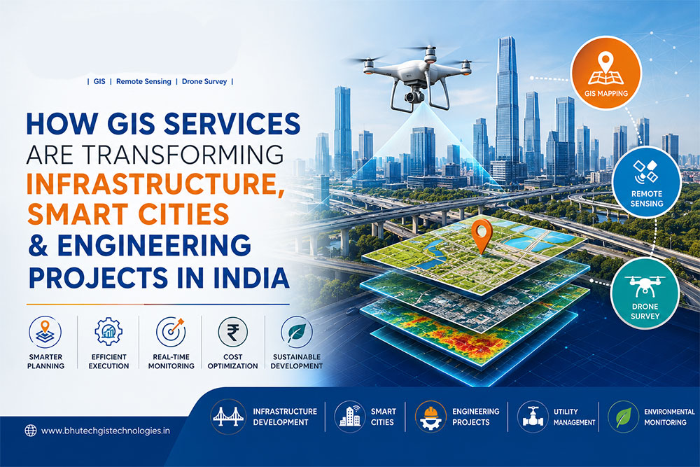
🌍 GIS Services in India: Transforming Smart Cities, Infrastructure and Engineering Projects
🚀 Introduction
India is witnessing rapid growth in infrastructure development, smart city initiatives, transportation networks, utilities, and urban planning projects. To manage these large-scale developments efficiently, organizations are increasingly relying on GIS Services (Geographic Information Systems) for data-driven planning and decision-making.
From road construction and utility mapping to drone surveys and smart city development, GIS technology is transforming how projects are designed, monitored, and executed across the country.
In this article, we’ll explore how GIS Services in India are revolutionizing infrastructure, engineering, and smart city projects while creating new opportunities for innovation and sustainable development.
🗺️ What Are GIS Services?
Geographic Information Systems (GIS) combine mapping, spatial analysis, satellite imagery, GPS data, and geospatial databases to visualize and analyze geographic information.
GIS Services help organizations:
✅ Collect spatial data
✅ Create digital maps
✅ Analyze geographic patterns
✅ Improve planning and decision-making
✅ Optimize project execution
Today, GIS technology plays a critical role in government projects, engineering firms, utility companies, environmental agencies, and infrastructure organizations.
🏗️ The Growing Importance of GIS in Infrastructure Development
Infrastructure projects involve large amounts of geographical data that must be managed accurately.
GIS Services help project teams:
✔ Identify suitable project locations
✔ Analyze terrain and topography
✔ Plan transportation routes
✔ Manage utility networks
✔ Monitor project progress
✔ Reduce project risks
By integrating GIS Mapping Services into infrastructure projects, organizations can save time, reduce costs, and improve project efficiency.
🛣️ GIS Applications in Transportation and Road Projects
Transportation planning requires detailed analysis of routes, traffic patterns, and geographic conditions.
GIS helps in:
🚗 Highway Planning
🚆 Railway Route Optimization
🚦 Traffic Management
🚌 Public Transport Planning
🛤️ Corridor Analysis
Government agencies and engineering consultants increasingly use GIS to improve transportation infrastructure across India.
🏙️ How GIS Is Powering Smart Cities in India
India’s Smart Cities Mission focuses on creating sustainable, technology-driven urban environments.
GIS plays a crucial role by providing:
📍 Smart City Planning
GIS helps planners visualize urban infrastructure, land use patterns, population distribution, and public facilities.
⚡ Utility Management
Water pipelines, power networks, sewage systems, and telecom infrastructure can be efficiently managed using GIS.
🚨 Emergency Response
GIS enables faster emergency planning and disaster response by providing real-time location intelligence.
🌱 Sustainable Urban Development
City planners can use GIS data to create greener and more sustainable communities.
🚁 GIS and Drone Survey Technology
One of the fastest-growing applications of GIS Services in India is Drone Survey and Drone Mapping.
Benefits of Drone Survey Services
✅ High Accuracy Data Collection
✅ Faster Project Execution
✅ Reduced Survey Costs
✅ Real-Time Project Monitoring
✅ Improved Safety
Drone mapping combined with GIS software provides highly accurate geospatial data for construction, mining, agriculture, and infrastructure projects.
🛰️ Remote Sensing and GIS: A Powerful Combination
Remote Sensing uses satellite imagery and aerial data to collect information about the Earth’s surface.
When integrated with GIS, organizations can:
🌍 Monitor Environmental Changes
🌾 Analyze Agricultural Land
🏞️ Manage Natural Resources
🌊 Monitor Water Bodies
🌳 Track Forest Cover
This combination is widely used by government departments, environmental agencies, and research organizations.
🏗️ GIS Services for Engineering Projects
Engineering firms rely on GIS to improve project planning and execution.
Common Engineering Applications
📐 Site Selection
📊 Spatial Analysis
🗺️ Utility Mapping
🏢 Urban Development Planning
🌉 Bridge & Highway Design Support
📍 Asset Management
GIS helps engineers make better decisions by providing accurate location-based information.
⚡ GIS Services for Utility and Telecom Networks
Managing utility infrastructure can be challenging without accurate geographic information.
GIS helps utility providers manage:
🔌 Electrical Networks
💧 Water Supply Systems
📡 Telecom Infrastructure
🔥 Gas Distribution Networks
🛠️ Maintenance Planning
Utility companies can quickly identify issues, optimize operations, and improve customer service through GIS-based asset management.
🌱 Environmental Monitoring and Resource Management
Environmental sustainability is becoming increasingly important in India.
GIS Services help organizations:
🌍 Monitor Environmental Changes
🌳 Manage Forest Resources
💧 Analyze Watersheds
🌾 Improve Agricultural Productivity
🌦️ Assess Climate Risks
These applications support long-term sustainable development goals.
📈 Key Benefits of GIS Services in India
Why Organizations Are Investing in GIS
✔ Better Decision Making
✔ Increased Efficiency
✔ Reduced Project Costs
✔ Improved Resource Management
✔ Enhanced Data Accuracy
✔ Faster Project Execution
✔ Better Risk Assessment
✔ Improved Planning Capabilities
As technology continues to evolve, GIS will become even more important for businesses and government agencies.
🎓 Growing Demand for GIS Professionals
With the increasing adoption of GIS technology, the demand for skilled GIS professionals is growing rapidly.
Career opportunities include:
📊 GIS Analyst
🛰️ Remote Sensing Analyst
🚁 Drone Mapping Specialist
📍 Survey Engineer
🌍 Geospatial Consultant
🏙️ Urban Planning Specialist
Professionals with GIS Training, Remote Sensing, and Drone Mapping skills are highly sought after across multiple industries.
⭐ Why Choose Bhutech GIS Technologies?
Bhutech GIS Technologies provides professional:
✅ GIS Training
✅ GIS Services
✅ Drone Survey Services
✅ Remote Sensing Solutions
✅ Photogrammetry Services
✅ Geospatial Consulting
With a focus on practical learning and industry-oriented solutions, Bhutech helps students, professionals, and organizations leverage the power of geospatial technology.
🚀 Conclusion
GIS Services are transforming how infrastructure, engineering, and smart city projects are planned and executed in India. From drone surveys and remote sensing to utility management and urban planning, GIS technology is enabling smarter decisions and better outcomes.
As India’s infrastructure and smart city initiatives continue to expand, the role of GIS Services will become even more critical in shaping a more connected, efficient, and sustainable future.
📞 Looking for GIS Training or GIS Services in India?
Contact Bhutech GIS Technologies today and discover how geospatial technology can support your projects and career growth.